Better Assessment Science Integrating point and Nonpoint Sources (BASINS) is a multipurpose environmental analysis system and has been made freely available by its developer, the US EPA. It is widely used as it provides a convenient framework for integrating modeling tools and environmental spatial and tabular data into a geographic information system (GIS) interface. From the BASINS interface, you can automatically download vital data to facilitate the setup of new projects. The tool accesses data such as Digital Elevation Models (DEMs), hydrography, land use, meteorological data, monitoring data, and soil maps from EPA, USGS, and many other cloud-based locations.
The most recent iteration of BASINS is version “4.5 Core,” which contains only the core functionality of BASINS, with additional functionality provided by a framework of plugins. All the plugins are packaged and installed separately from the BASINS software. U.S. EPA provides access to many plugins, including those for WinHSPF, LSPC, and WASP. These plugins can be loaded on the BASINS interface to develop input files for these modeling software. Third-party developers also provide other plugins.
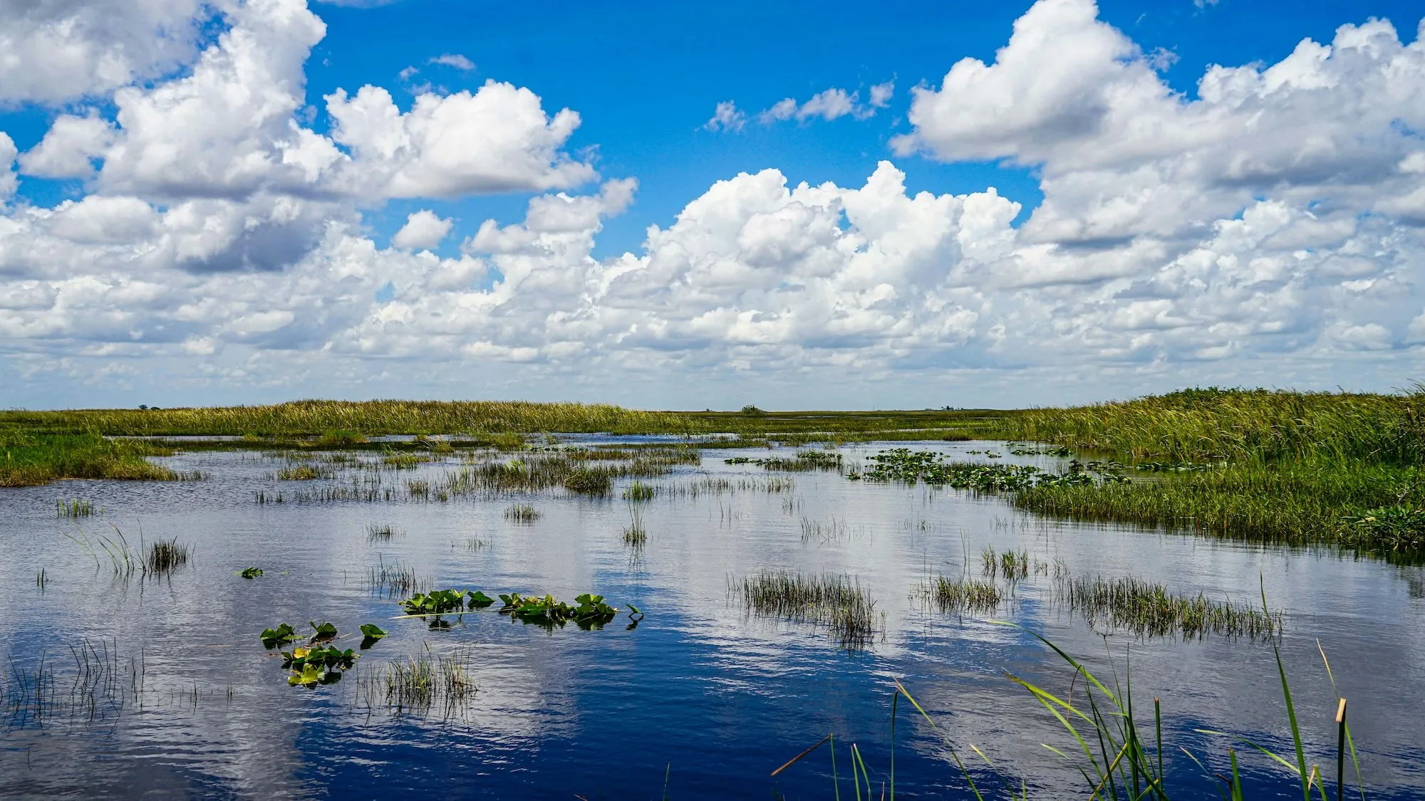
DSI has recently developed a plugin for BASINS that allows users to generate the grid and build an Environmental Fluid Dynamics Code Plus (EFDC+) model directly from within the BASINS interface. Using a shape file of your waterbody displayed in the BASINS interface, you can call the plugin and build a grid to your required resolution. This tool allows users to extract the essential data from Watershed Data Management (WDM) format and create the input files for EFDC+. After this, users can specify the boundary locations and assign the flow time series, and the plugin will convert them into the correct format for EFDC+. Meteorological data such as wind speed, direction, rainfall, and solar radiation, cloud cover can also be exported from BASINS into the file format needed by EEMS.

The EEMS plugin for BASINS provides an important link between watershed models and receiving water hydrodynamic models. Users will be able to go from extensive basin-scale studies to more in-depth analyses of particular water bodies and the impact of pollutant loading. This plugin is the first step in what we envision to be greater integration between hydrologic and hydrodynamic models, facilitating improved data exchange and ease of use for those seeking solutions to complex environmental questions.
Guidance on how to use this plugin is available here, as well as a video demonstration from one of the BASINS developers, Dr. Anurag Mishra. The plugin is now available for download from the EEMS website. The first five users who successfully build and run an EFDC+ model using the plugin will receive a free DSI T-Shirt, a coffee mug, and three months fee EEMS subscription. Just send us a screen capture of your BASINS model and input files for the EEMS model. If you don’t have an EEMS license, you can still view your model with EEMS in demo mode.
Other Plugins Hosted by EPA
Watershed Model plugins:
- WinHSPF is an interface to the Hydrological Simulation Program Fortran (HSPF). HSPF is a watershed scale model for estimating instream concentrations resulting from loadings from point and nonpoint sources (U.S. EPA supported).
- SWAT is a physical-based, watershed scale model developed to predict the impacts of land management practices on water, sediment, and agricultural chemical yields in large complex watersheds with varying soils, land uses, and management conditions over long periods. SWAT2005 is the underlying model that is run from the BASINS MapWindow interface.
- SWMM is a dynamic rainfall-runoff model used for single event or long-term (continuous) simulation of runoff quantity and quality from primarily urban areas. The routing portion of SWMM transports this runoff through a system of pipes, channels, storage/treatment devices, pumps, and regulators.
- LSPC is the Loading Simulation Program in C++. This watershed modeling system includes streamlined Hydrologic Simulation Program Fortran (HSPF) algorithms for simulating hydrology, sediment, and general water quality on land and a simplified stream transport model. LSPC is derived from the Mining Data Analysis System (MDAS), developed by EPA Region 3, and has been widely used for mining applications and TMDLs.
Instream / Water Quality Models:
- AQUATOX is a simulation model for aquatic systems that predicts the fate of various pollutants, such as nutrients and organic chemicals, and their effects on the ecosystem, including fish, invertebrates, and aquatic plants (U.S. EPA supported).
- WASP is a dynamic compartment-modeling program for aquatic systems, including both the water column and the underlying benthos (U.S. EPA supported).
Loading models:
- GWLF-E, is an extension of the Generalized Watershed Loading Function (GWLF) model. GWLF-E is a ‘mid-level’ model that estimates monthly nutrient and sediment loads within a watershed.
- PLOAD, a pollutant loading model. PLOAD estimates nonpoint sources of pollution on an annual average basis for any user-specified pollutant, using either the export coefficient or simple method approach.
Talk To The Experts