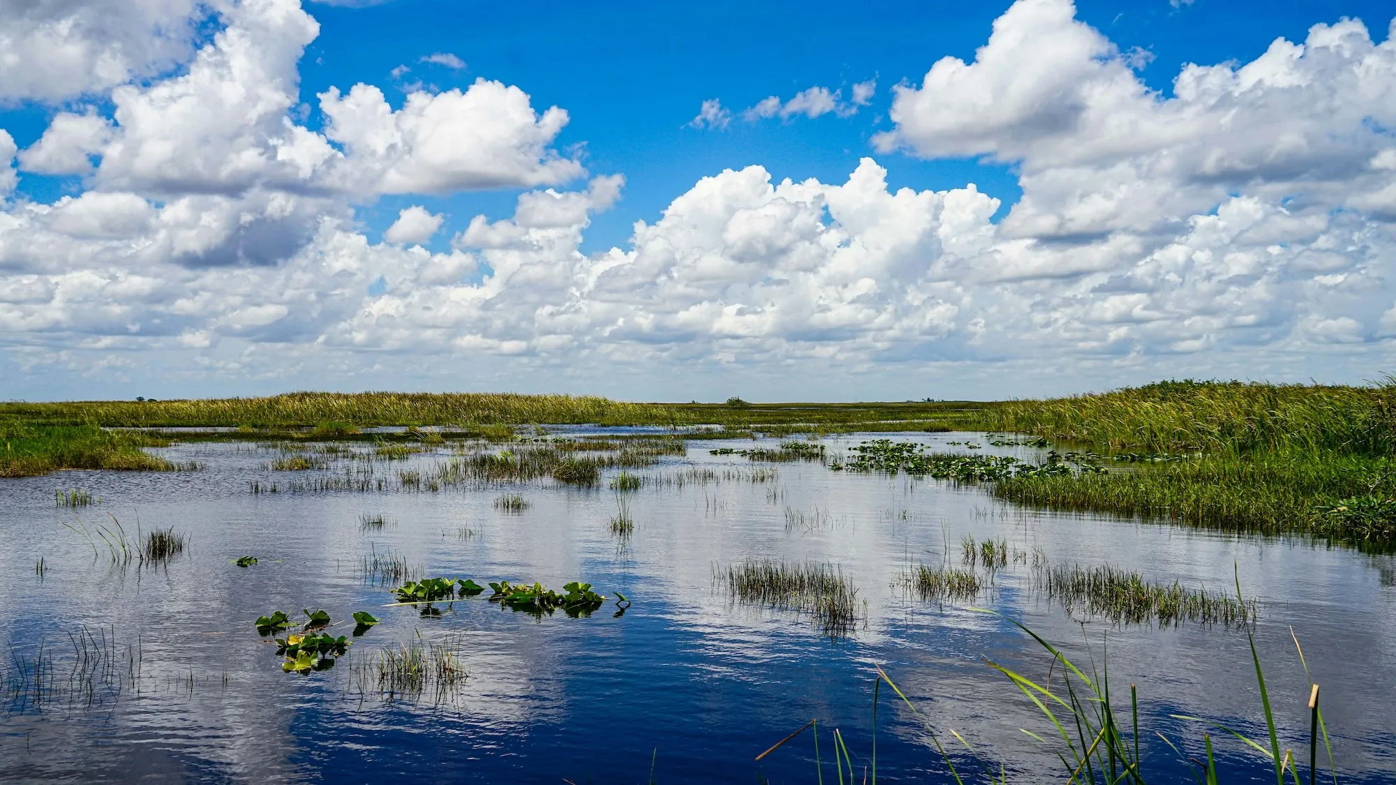
Caloosahatchee River Basin and San Carlos Bay, Florida, USA
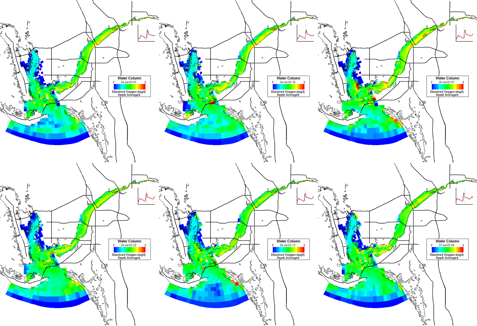
Visit sourceDSI developed a linked watershed and water quality model spanning 1,400 square miles of the Caloosahatchee watershed to support FDEP’s TMDL process. The estuary, listed among Florida’s impaired water bodies, receives nutrient-laden inflows from Lake Okeechobee along with agricultural runoff and urban discharges. The model simulates algal blooms, dissolved oxygen dynamics, and nutrient cycling to inform restoration planning. See also Demo model (DM-23).